

Trench Scanner
Scan the trench. Get the volume.
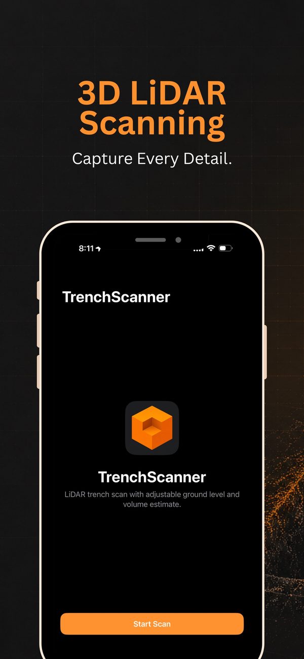
Trench Scanner uses the LiDAR on your iPhone or iPad to scan an excavation and estimate how much material has come out, right there on site.
- One-time purchase
- iPhone and iPad
- Needs LiDAR
How it works
Scan, set the ground, read the volume.
For contractors, landscapers, utility crews and anyone who needs a quick volume check on site without setting up traditional survey equipment.
-
Step 01
Scan
Walk around the trench from a safe distance so the camera sees the walls and the floor. LiDAR builds a 3D mesh of the site.
-
Step 02
Set the ground level
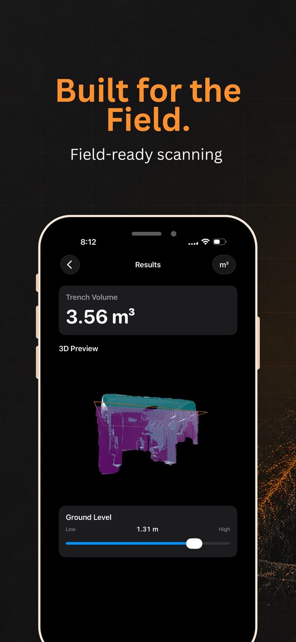
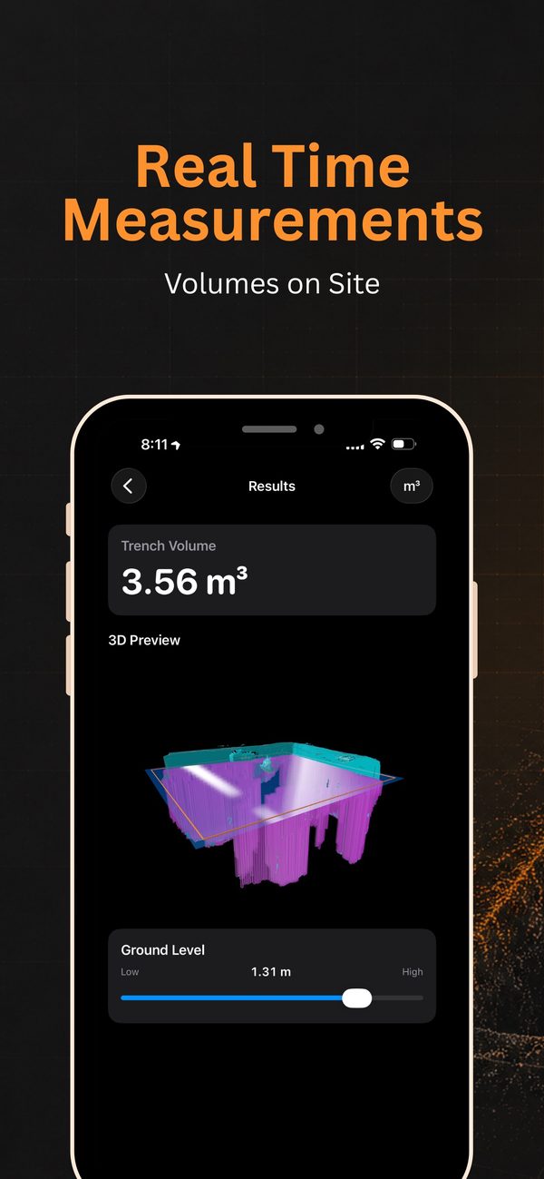
Move the ground slider between the highest and lowest points of the scan to match the lip of the trench.
-
Step 03
Read the volume
The app works out the excavated volume inside the scan area, in m³ or ft³.
-
Step 04
Check the 3D preview
Review the mesh, the reference plane and the filled void before you leave site.
Screenshots
See it in use.
Before you start
What you need.
- An iPhone or iPad with LiDAR, such as iPhone 12 Pro and later, or an iPad Pro with LiDAR
- iOS 26.2 or later
- Good light and a clear view of the trench floor
Trench Scanner gives field estimates for planning and reference. It isn't a certified survey or an engineering measurement, and results depend on scan coverage, site conditions and where you set the ground level. Follow your site safety rules, and never enter an unsafe trench to scan it.
Questions about Trench Scanner?
Tell us which device you're using and what you were measuring, and we'll get back to you.