

SlopeCheck
Point at the ground. Read the slope.
SlopeCheck uses the LiDAR scanner on your iPhone or iPad to measure the slope in front of you, and shows it live as a ratio and an angle. No tapping and no setup.
- Free
- iPhone and iPad
- Needs LiDAR
What it does
A quick slope check, wherever you're standing.
Point the camera at the ground and SlopeCheck fits a plane to the LiDAR depth data in view, compares it with true vertical using the gyroscope, and updates the slope as you move.
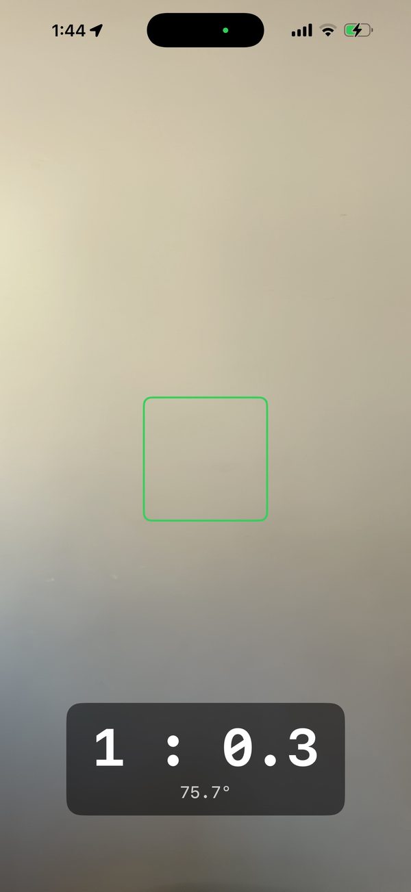
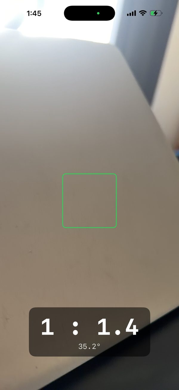
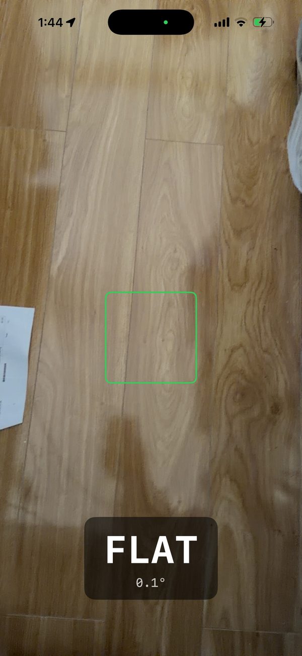
- A live V:H slope ratio, such as 1 : 2.0, updated in real time
- The slope angle in degrees, shown alongside the ratio
- Referenced to gravity through the gyroscope, so the reading doesn't depend on how you hold the device
- A smoothed readout that doesn't jitter, made for fieldwork
- No account and no ads, and nothing is sent off the device
Built for earthworks, grading, drainage falls, batter checks and general slope checks: anywhere you'd otherwise reach for a line level or an inclinometer.
Screenshots
See it in use.
Before you start
What you need.
- An iPhone 12 Pro or later Pro model, or an iPad Pro from 2020 or later, with a LiDAR scanner
- iOS 15 or later
SlopeCheck gives field estimates for quick checks. Accuracy depends on the device, the surface, the lighting and how you hold it, so it isn't a substitute for a survey.
Questions about SlopeCheck?
Tell us which device you're using and what you were measuring, and we'll get back to you.